
Marc and I took advantage of a free weekend and headed to central Louisiana to check out the Kisatchie National Forest mountain biking scene. On the drive home, we couldn’t resist a detour, taking advantage of the high Mississippi River levels to explore some of the U.S. Army Corps of Engineers’ control systems designed to manage the river’s flow and path.


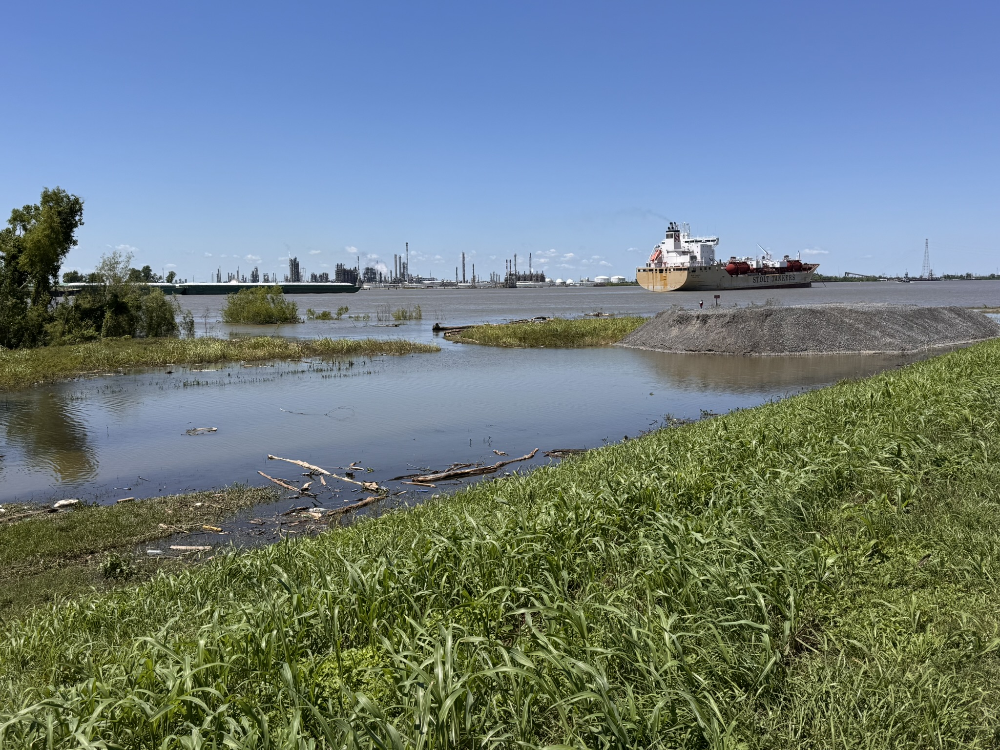
A few weekends later, we added another 30 miles to our RAGBRAI training bank, and it came with a bonus adventure. Our ride took us out to the Bonnet Carré Spillway, where we got another firsthand look at the unusually high river levels. Watching water rush through the spillway needles was not something you see every day. Riding the levee from the Spillway to Kenner and back kept us on our toes thanks to the local wildlife (alligators!) and strong winds.


Visiting Bonnet Carré this weekend felt like the final chapter in that adventure—I now know more about river control than I ever expected to!
Louisiana locals, take note: If you haven’t explored the Old River Control Systems, spillways, and supporting infrastructure, do yourself a favor. It’s fascinating to see the extraordinary measures in place to keep the Mississippi River from shifting course—an effort that ultimately protects both Baton Rouge’s and New Orleans’ economies.
America’s Achilles’ Heel: the Mississippi River’s Old River Control Structure | Weather Underground